Cooler Days and Warmer Nights This Summer in Midwest

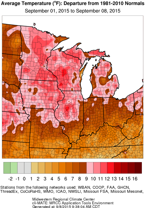
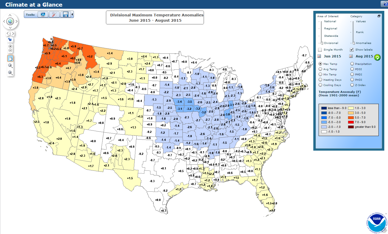
Cooler than average daytime highs (first map, blue shaded areas) and warmer than average night-time lows (second map) this summer were common across much of the Midwest, according to data from the National Centers for Environmental Information.

It is typical in Illinois for this to happen in summer after a wet spring. We marched through summer with above-average soil moisture, streamflows, and lake levels. As a result, more of the sun’s energy went into evaporating this water instead of heating up the land surface and the atmosphere. The end results were higher humidity levels and lower high temperatures.

At night, the higher humidity levels kept temperatures from dropping as much. The old forecasting rule of thumb was to consider the dew-point temperature as the floor to night-time temperatures. Therefore, the higher dew-point temperatures led to higher night-time temperatures.*

Finally, all the extra humidity in the atmosphere turned into more rainfall for thunderstorms, maintaining the wetter conditions through at least July.

summer-max-map
Click to enlarge. Cooler than average daytime high temperatures this summer across the Midwest. Source: National Centers for Environmental Information (NCEI).

Continue reading “Cooler Days and Warmer Nights This Summer in Midwest”

Hot, Dry Start to September in Illinois

Illinois and the rest of the Midwest are off to a hot start in September. As the map below shows, areas in shades of brown were up to 9 degrees above average. This includes southern Illinois and much of the southern states in the Midwest. The areas in pinks and red were even farther above average, some 9 to 12 degrees above average. This includes most of the northern half of Illinois, as well as northern Missouri, Iowa, Minnesota, Wisconsin, and most of Michigan.

Cooler and more seasonable weather is expected in Illinois after today.

map1

Continue reading “Hot, Dry Start to September in Illinois”

Cool, Dry August and Sixth Wettest Summer in Illinois

August was cool across the state and dry in most places in Illinois, capping off a summer that was cool and wet.

Precipitation

The statewide average precipitation for August in Illinois was 2.95 inches, 0.64 inches below average.  However, this was followed by a very wet June with 9.44 inches, and a wet July with 4.84 inches. As a result, the summer precipitation total was 17.23 inches. That was 5.36 inches above average and the 6th wettest summer on record.

Here are the top ten wettest summer in Illinois. It was wetter than last summer and 2010, but nearly an inch away from the incredible summer of 1993.

Rank Year Total Departure % of Average
1 1993 18.51 6.64 156
2 1902 18.14 6.27 153
3 1981 17.62 5.75 148
4 1915 17.58 5.71 148
5 1958 17.53 5.66 148
6 2015 17.23 5.36 144
7 2010 16.24 4.37 137
8 1907 15.78 3.91 133
9 2000 15.26 3.39 129
10 2014 15.25 3.38 128

The precipitation for August was unevenly distributed, which is typical in the summer months. Amounts of 3 to 5 inches were common in northern Illinois and points east of St. Louis. Continue reading “Cool, Dry August and Sixth Wettest Summer in Illinois”