The NWS released their new outlooks for the first half of 2018. First of all, the NWS notes that La Niña conditions continue across the Pacific Ocean and will likely persist through the rest of winter. It will likely fade this spring, leading to so-called “ENSO-neutral” conditions, which will continue through summer. “ENSO-neutral” just means that we are between La Niña and El Niño conditions, in other words, neutral.
January
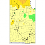
The shorter-range forecasts out to 14 days indicate a shift in the weather pattern bringing warmer and wetter than normal conditions across Illinois. By this Sunday we could be in the 40s and 50s in Illinois (left panel, below) while the prospects of rainfall are high with potential totals of 1/2 to 1 inch over the next 7 days (right panel).
The outlook for the last week of January (below) shows Illinois and much of the eastern US has an increased chance of being both warmer and wetter than normal.
February and February-March-April
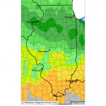
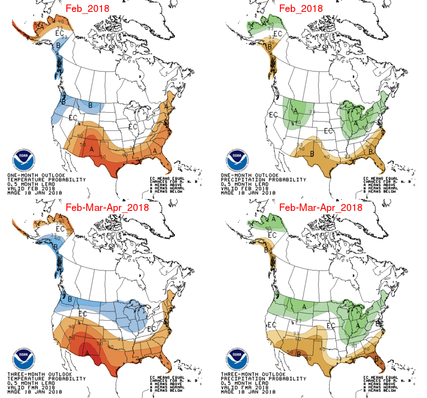
The outlook for February in Illinois (top row in the figure below) shows that climate conditions do not favor either above or below normal temperatures. Climate conditions do favor an increased chance of above-normal precipitation across Illinois.
The outlook for February-March-April in Illinois (bottom row) shows that climate conditions favor an increased chance of below-normal temperatures for all of the state except far southern Illinois. Like February, climate conditions favor an increased chance of above-normal precipitation. In some respects, wetter conditions could help alleviate the precipitation deficits that we have been racking up in the fall and winter. However, too much precipitation could increase the risk of flooding and problems with field conditions (again).
May-June-July
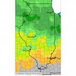
The NWS outlook for May-June-July is not very exciting for Illinois. Climate conditions do not favor either above or below normal temperatures for most of Illinois. The exception is far southern Illinois where there is an increased chance of being warmer than normal. Climate conditions do not favor either above or below normal precipitation for Illinois for this summer. “EC” means equal chances of above, below, and near-normal conditions.
Alternate Forecasts
There are some mid-range climate models that run out to 6 or 7 months. You can see them collectively at the North American Multi-Model Ensemble website. Looking at these models, one can pick out a few general patterns for Illinois through August. Overall, they show warmer than normal conditions for each month through August. That isn’t necessarily outlandish considering that 9 out of 12 months in 2017 ended up being warmer than normal in Illinois. The precipitation pattern is more varied that suggest another wet spring followed by a dry July.
| Month | Temperature | Precipitation |
|---|---|---|
| February | Warmer | Wetter |
| March | Warmer | Wetter |
| April | Warmer | Near-normal |
| May | Warmer | Wetter |
| June | Warmer | Near-normal |
| July | Warmer | Drier |
| August | Warmer | Near-normal |
