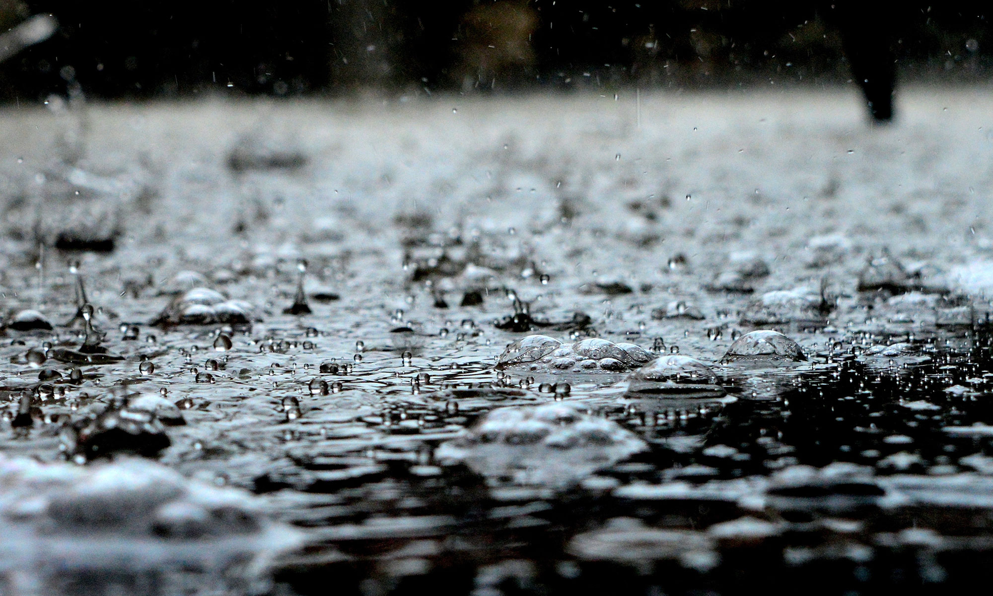
September in Illinois: Cooler and Wetter Than Normal

September

The statewide average temperature for September in Illinois was 64.6 degrees, 1.6 cooler-than-normal. This was the first cooler-than-normal month of 2012, and the first cooler-than-normal month since September of 2011. See graph below.
The statewide average precipitation for September was 4.9 inches, 1.7 inches wetter-than-normal. This is the first wetter-than-normal month in 2012. See second graph below.
Much of the September rainfall came from the remains of Hurricane Isaac that passed over Illinois on Labor Day weekend. Additional rains fell later, especially in south-central Illinois. In general, areas south of Interstate 80 had monthly totals in the 3 to 12 inch range. A few sites in that region reported over a foot of rain with the largest total at Centralia with 15.89 inches. See first map below.
Precipitation totals north of Interstate 80 were around 1-2 inches. One of the driest spots in the state was Elburn (Kane County IL-KN-30) with only 1.28 inches for the month. Chicago and Rockford were not far behind with O’Hare Airport reporting 1.76 inches while the Rockford airport reported only 1.74 inches for September.
By the end of September, drought conditions had eased somewhat according to the US Drought Monitor.  Only 6.7 percent of the state was in the worst two categories  of drought (D3 and D4). This compares to 70 percent of the state in the two worst categories at the end of August. Even so, 82 percent of the state still remained in some stage of drought at the end of September.

January-September

Even with a wet September, the January-September statewide precipitation total of 22.38 inches was 8.34 inches below normal and the fifth driest on record. Here are the top five:

  1. 1988 with 19.49″
  2. 1901 with 19.84″
  3. 1936 with 21.76″
  4. 1940 with 22.17″
  5. 2012 with 22.38″

Remarkably, the precipitation over the last two months has erased the precipitation deficit since January 1 in much of Fayette, Washington, Clinton, Bond, and Montgomery counties. Sizable deficits remain across much of Illinois, especially western and northern Illinois as well as far southern Illinois. See second map below.
The January-September statewide average temperature of 59.6 degrees was 4.1 degrees above normal. It was the second warmest January-September on record and just slightly cooler than the record of 59.7 degrees set in 1921.
Notes: “normal” refers to the 1981-2010 averages. Statewide temperature and precipitation records began in 1895.

Statewide temperature departures from normal for September in Illinois. Click to enlarge.

Statewide precipitation departure from normal for September in Illinois. Click to enlarge.

30-day precipitation total through the morning of September 29 for Illinois. The 30-day map for September 30 failed to run. Click to enlarge.

Year to date precipitation departures from normal through September 29 for Illinois. Click to enlarge.

A Warm Fall for Illinois?

NOAA’s Climate Prediction Center released their latest monthly and seasonal outlooks today (Thursday). In the figure below, the outlook for October in Illinois is for an increased risk of above-normal temperatures and below-normal precipitation. The 3-month outlook for October-December in Illinois is for an increased risk of above-normal temperatures. Their precipitation outlook is neutral at this time.
That’s not the best news for drought recovery but it might make it easier on farmers for  fall harvest.
One factor that could come into play this winter is El Niño. In fact, the CPC says an El Niño event is likely to arrive some time in September, according to their latest advisory. However, in the last two winters the Arctic Oscillation has played a major role in our winter weather. Two winters ago it was in the negative phase and dumped lots of cold air into Illinois. Last winter it was in the positive phase and prevented a lot of cold air from reaching us. Unfortunately, we can only forecast the Arctic Oscillation out to 14 days.

NOAA’s Climate Prediction Center outlooks for October and October-December. Click to enlarge.

Recent Rains Help in Parts of Illinois

Both rainfall totals and temperatures in August look far more promising than July. Here is the breakdown by climate division in August for Illinois. I apologize for the formatting – you will have to scroll left and right to see the entire table. By the way, in Illinois the climate divisions and crop reporting districts cover the same areas (see map below). I have a set of tables like these that update daily at Current Conditions in Illinois.
Temperatures for August are running 0.3 to 2.3 degrees below normal. Precipitation is running 0.4 to 1.4 inches below normal in the climate divisions to the north and west. The remaining climate divisions are above normal.

                                  Illinois
                        08/01/2012 to 08/20/2012
Climate          <------Temperature----->   <---------Precipitation--------->
Division         Actual   Normal      Dev   Actual   Normal     Dev   Percent
-----------------------------------------------------------------------------
Northwest          69.4     71.7     -2.3     1.97     2.98    -1.01       66
Northeast          70.0     71.7     -1.7     1.97     2.84    -0.87       69
West               72.0     74.1     -2.1     1.08     2.50    -1.42       43
Central            71.3     73.2     -1.9     2.04     2.51    -0.47       81
East               71.0     72.6     -1.6     3.06     2.59     0.47      118
West-southwest     73.3     74.8     -1.4     2.31     2.16     0.14      107
East-southeast     73.7     74.8     -1.1     3.38     2.20     1.19      154
Southwest          75.8     76.1     -0.3     2.56     2.21     0.35      116
Southeast          75.7     76.2     -0.5     3.19     2.05     1.14      156
State              72.3     73.8     -1.5     2.39     2.46    -0.07       97
Dev means Deviation From Normal, Percent means Percent of Normal

Here are the temperatures and precipitation since January 1, 2012. While the recent rains are welcome, significant long-term precipitation deficits remain across the state.

                                 Illinois
                        01/01/2012 to 08/20/2012
Climate          <------Temperature----->   <---------Precipitation--------->
Division         Actual   Normal      Dev   Actual   Normal     Dev   Percent
-----------------------------------------------------------------------------
Northwest          54.7     50.1      4.6    16.05    24.09    -8.04       67
Northeast          54.7     50.1      4.7    17.32    24.06    -6.73       72
West               57.4     53.1      4.3    14.39    24.77   -10.38       58
Central            56.8     52.5      4.4    14.19    24.57   -10.38       58
East               56.6     52.1      4.5    17.41    24.92    -7.51       70
West-southwest     59.0     54.6      4.4    18.17    24.71    -6.54       74
East-southeast     59.4     54.9      4.4    18.30    26.88    -8.58       68
Southwest          61.2     56.8      4.5    19.18    27.68    -8.50       69
Southeast          61.7     57.0      4.6    19.24    29.28   -10.04       66
State              57.8     53.3      4.5    17.12    25.52    -8.40       67
Climate divisions (and crop reporting districts) in Illinois.

Latest Outlooks for September and the Fall

On Thursday, NOAA’s Climate Prediction Center released their outlooks for September and the 3-month period of September – November. For Illinois, they foresee an increased risk of above-normal temperatures and below-normal precipitation in September. Also, they foresee an increased risk of above-normal temperatures for September – November. They are taking a neutral stand on fall precipitation, saying that there are equal chances of above, below and near-normal precipitation.
The other news they have is that their drought outlook (second figure) shows expected improvement in the drought north of Interstate 74 in the upcoming months. Some improvement is expected in southern Illinois. However, they expect drought to persist in western Illinois through at least the end of November.

NOAA’s CPC outlook for September and September-November. Click to enlarge.

NOAA CPC drought outlook. Click to enlarge.