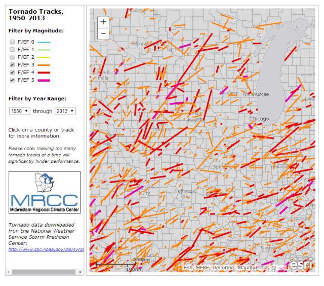
The Midwestern Regional Climate Center, located at the Illinois State Water Survey, recently released a new tornado tracking tool. You can choose the range of years, and the tornado intensity (EF scale), as well as zoom in for more details (screen shot below). BTW, the tool covers the entire US, not just the Midwest. It is another great tool developed by our talented GIS expert Zoe.

Speaking of tornadoes, here is the monthly tally of tornadoes in Illinois for 2014. Half of our tornadoes this year occurred in February while March through July have been very quiet.
- January: 0
- February: 14
- March: 0
- April: 5
- May: 2
- June: 2
- July: 0
That is about the opposite of the tornado climatology for Illinois, which shows that winter months are typically much quieter than the spring and early summer months.


