Outlook for March – Cold in Illinois

The NWS Climate Prediction Center released today their outlook for March and beyond. There is still a 50-60 percent chance of El Niño showing up in the next few months but likely to be both weak and short-lived. I do not think it will be a major player in 2015.

MARCH:

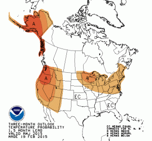
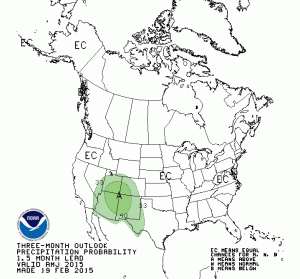
First of all for March, Illinois and the Great Lakes region have an increased chance of below-average temperatures. That is no real surprise given the cold weather of recent weeks and expected below-average temperatures in the 14 day outlooks. We have equal chances (EC) of above, below, and near-average precipitation. Click to enlarge maps.

off14_tempoff14_prcpAPRIL-MAY-JUNE

After an expected colder than average March, we see a reverse pattern in Illinois and the Great Lakes region with an increased chance of above-average temperatures.

off02_tempoff02_prcp

JULY-AUGUST-SEPTEMBER

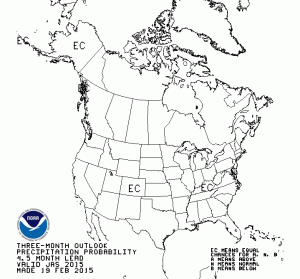
There is not much to report for the heart of this summer in Illinois. We have EC for both temperature and precipitation.
off05_tempoff05_prcp

Seasonal Outlooks for Illinois

Last week, the Climate Prediction Center released their outlooks for February and beyond. There is nothing exciting to report for Illinois. Both the outlook for February and the 3-month outlook for February-April have us in “EC” or equal chances of above, below, and near-average temperature and precipitation. See map below (click to enlarge). That’s not bad news – it means there are no increased risks of a colder than average winter.  Continue reading “Seasonal Outlooks for Illinois”

NWS Outlook for November and Winter

Today the NWS Climate Prediction Center has released their latest outlook for November and this winter. Below are the maps for November temperature, November precipitation, December-February temperature, and December-February precipitation.

For Illinois, November temperatures have equal chances (EC) of being above, below, or near-average. November precipitation is rated as EC except for the northeast quarter of the state, which has an increased chance of below-average precipitation. This is part of a larger area with increased chances of below-average precipitation across the Great Lakes region.

The category of EC is a little hard to interpret. Basically, it means that there are no consistent indications that conditions could be too warm/cold/wet/dry. Sometimes I call it a neutral forecast.

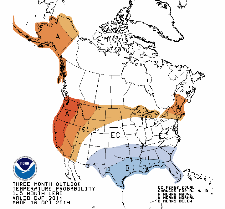
For December-February, the traditional winter months, Illinois has equal chances (EC) of above, below, and near-average temperatures. However, Illinois has an increased chance of below-average precipitation.

Continue reading “NWS Outlook for November and Winter”

NWS Outlook – Wet October, Warmer Fall for Illinois

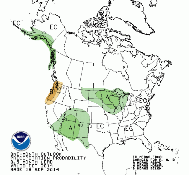
There is an increased chance of above-average precipitation for the northern half of Illinois in October and an increased chance of above-average temperatures in October-November-December for all of Illinois, according to the latest outlooks from the NOAA Climate Prediction Center.

October Precipitation

The first map shows the precipitation outlook for October. Wetter-than-average conditions are expected in much of the northern Corn Belt as well. The rest of Illinois is in equal chances (EC) of above, below, and near-average precipitation. All of Illinois has equal chances of above, below, and near-average temperatures. Another way to think of “EC” is that the odds are evenly divided among the three categories.

off14_prcp
Click to enlarge.

Continue reading “NWS Outlook – Wet October, Warmer Fall for Illinois”