Cool, Dry August and Sixth Wettest Summer in Illinois

August was cool across the state and dry in most places in Illinois, capping off a summer that was cool and wet.

Precipitation

The statewide average precipitation for August in Illinois was 2.95 inches, 0.64 inches below average.  However, this was followed by a very wet June with 9.44 inches, and a wet July with 4.84 inches. As a result, the summer precipitation total was 17.23 inches. That was 5.36 inches above average and the 6th wettest summer on record.

Here are the top ten wettest summer in Illinois. It was wetter than last summer and 2010, but nearly an inch away from the incredible summer of 1993.

Rank Year Total Departure % of Average
1 1993 18.51 6.64 156
2 1902 18.14 6.27 153
3 1981 17.62 5.75 148
4 1915 17.58 5.71 148
5 1958 17.53 5.66 148
6 2015 17.23 5.36 144
7 2010 16.24 4.37 137
8 1907 15.78 3.91 133
9 2000 15.26 3.39 129
10 2014 15.25 3.38 128

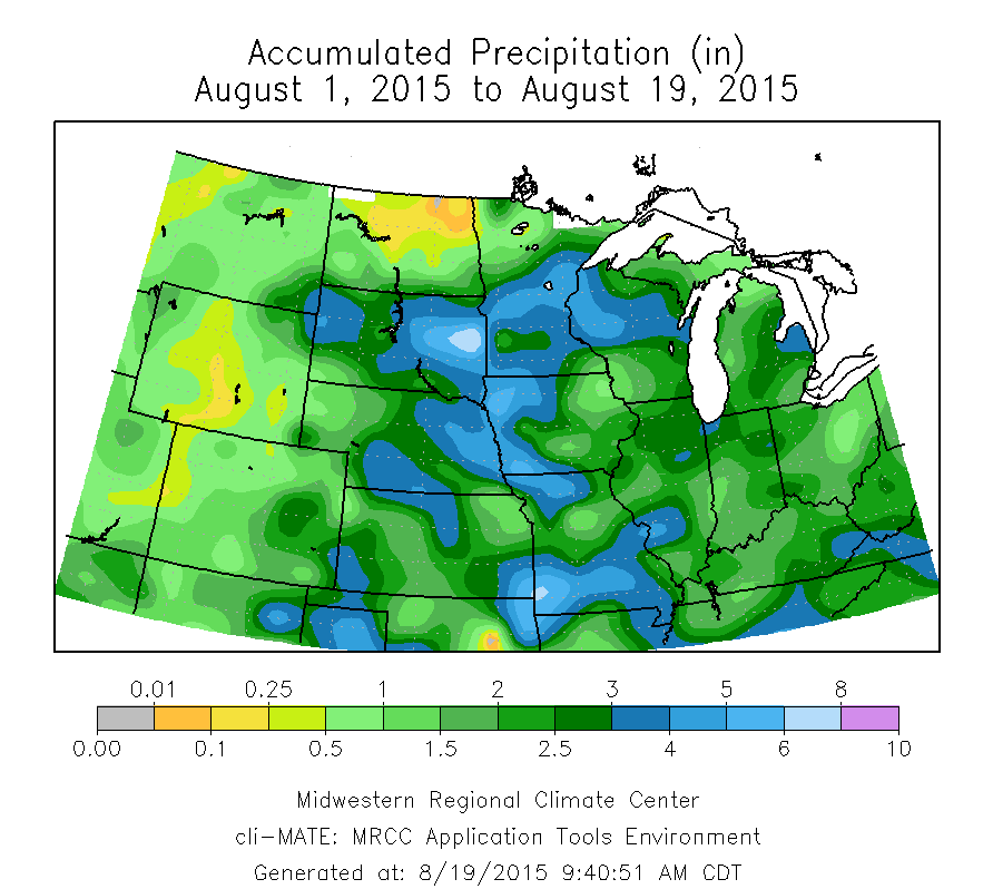
The precipitation for August was unevenly distributed, which is typical in the summer months. Amounts of 3 to 5 inches were common in northern Illinois and points east of St. Louis. Continue reading “Cool, Dry August and Sixth Wettest Summer in Illinois”
Rainfall and Temperatures Across the Midwest in August

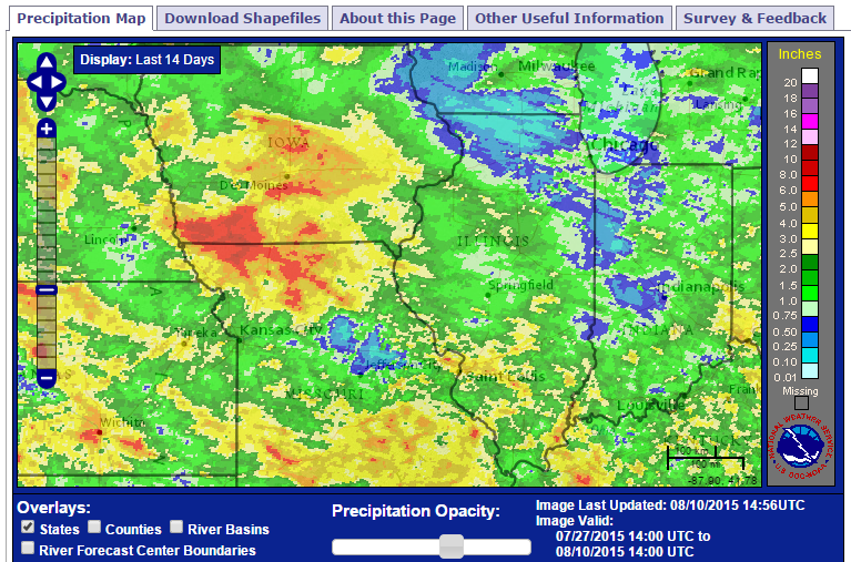
Here is a snapshot of conditions across the Midwest for August. The first map shows the actual precipitation, the second the departures from average, and the third shows the temperature departures from average. Overall, the region has been wet with temperatures close to average for August.

For Illinois, the statewide average  is 1.8 inches, which is about 20 percent below average. The heaviest amounts of 3 to 5 inches have been just east of St. Louis August. Meanwhile, widespread areas in Missouri, Iowa, Minnesota, Kansas, Nebraska, South Dakota, and Wisconsin, have reported 3 to 6 inches of rain. It has been less wet in the eastern Corn Belt.

map1

Continue reading “Rainfall and Temperatures Across the Midwest in August”

Forecast for August: Remaining Cooler for Illinois

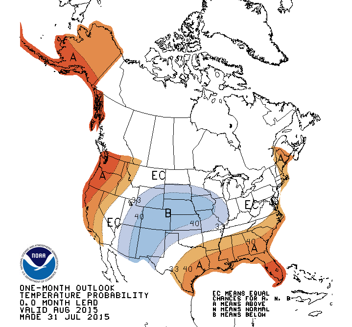
Illinois has an increased chance of being cooler-than-average for August, according to the NWS Climate Prediction Center. The new forecast was released on July 31, 2015.

One of the major drivers in the forecast is that we are currently in an El Niño event. Historically, August temperatures tended to be cooler than average during El Niño events.

This forecast of a cooler August follows on the heels of our cool July. Besides El Niño, in the past the temperature pattern experienced in July has a tendency to carry over into August. That is a hot July tends to carry over to a hot August and a cool July tends to carry over to a cool August.

This is largely the result of soil moisture status. Dry soils in July (i.e., drought) leads to warmer temperatures in both July and August. On the other hand, wet soils in July hold down August temperatures as more solar radiation goes into evaporating and transpiring water back into the atmosphere and less into heating up the atmosphere.

Click to enlarge.
Click to enlarge.

Continue reading “Forecast for August: Remaining Cooler for Illinois”