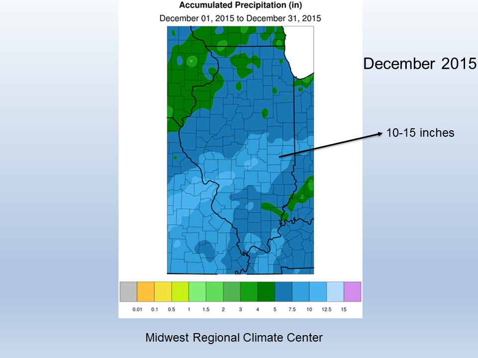
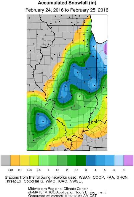
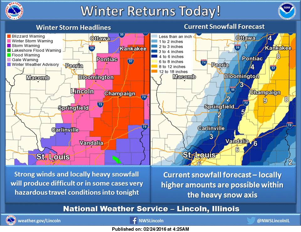
Here are the snowfall totals from the February 24th storm that struck central Illinois. The amounts turned out to be less than what was forecasted (second figure) by the National Weather Service. The core area received 3 to 5 inches of snow, compared to the forecasted amounts of 6 to 10 inches. However, the storm track was forecasted accurately.
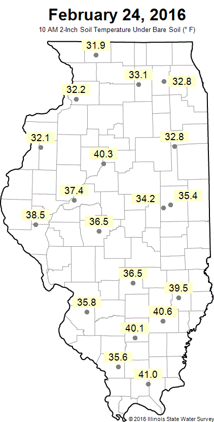
What happened? First of all, temperatures remained at or just above freezing during most of the event – right around 32 to 34 degrees in Champaign and Decatur. In addition, the soil temperatures at 2 inches were just above freezing as well (third figure). As a result, the snow was partially melting throughout the day as it fell.
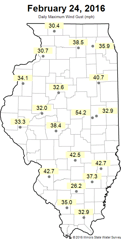
The winds were strong yesterday. The maximum wind gust in our Illinois Climate Network was 54 mph at Bondville, an exposed site just west of Champaign (last figure). The Champaign site registered a maximum gust of 35 mph in a location with many trees and buildings.
Forecast totals from right before the storm, according to the National Weather Service.
Two-inch soil temperatures across Illinois at 10 am on February 24, 2016.
Maximum wind gusts for February 24, 2016.