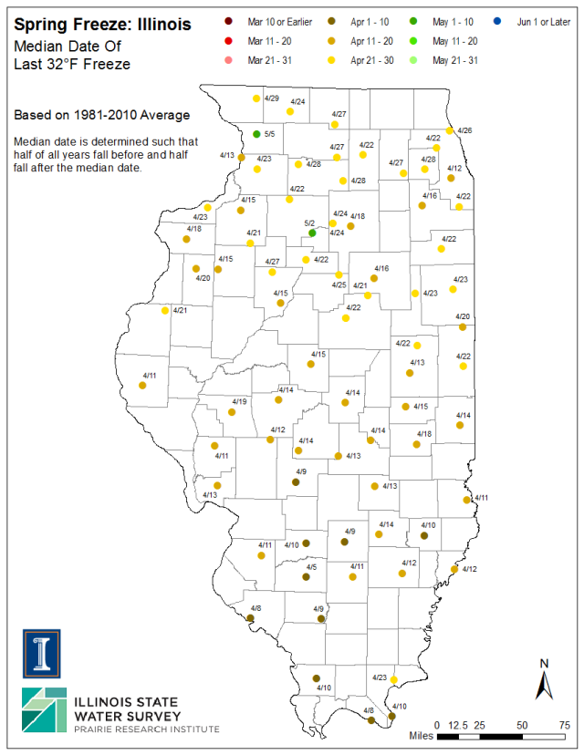
 It is that time of year to discuss the nemesis of every gardener out there – the late spring frost or freeze. We have a full suite of maps showing the earliest, 1 in 10 years, median, 9 in 10 years, and latest frost (32 degrees) and freeze (28 degrees).
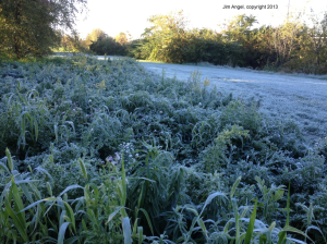
One of the things you notice about this map, and all the others in the series, is that even though the date for the last spring frost/freeze gets later the farther north you go, you can get big differences between nearby locations. The reason for that is that most of these last frosts occur during calm, clear, cold nights. As a result, subtle local features can make a big difference. For example, cold air can settle in low-lying areas, causing frost pockets. Or locations out in the countryside may be just a few degrees cooler than in town, due to warm buildings, that may make them vulnerable to a later frost. Also, keep in mind that we measure the air temperature at 5 feet above the ground while the ground and some objects may cool to lower temperatures on calm, clear nights. Therefore, you may see frost even if the temperature is reported as 34 or 35 degrees.
Personally, I use these maps as a general guide. However, I watch the latest weather forecasts closely for a few weeks after I have new plants in the ground for any surprises. The NWS does put out hard freeze warnings (temperatures at or below 28 degrees with or without frost), freeze warning (temperatures at or below 32 degrees with or without frost), and frost advisories for widespread frost.


FYI Jim
Slowest tornado start in a century and new research suggesting tornado incidence and damage have slowed since 1981.
http://online.wsj.com/news/articles/SB10001424052702303603904579495581998804074?mg=reno64-wsj&url=http%3A%2F%2Fonline.wsj.com%2Farticle%2FSB10001424052702303603904579495581998804074.html