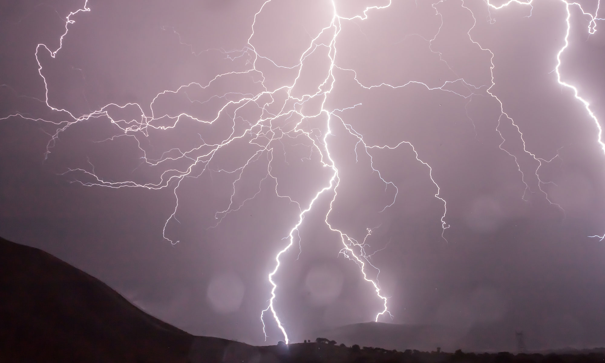
Chicago has a new all-time daily record rainfall when 6.86 inches fell during the early morning hours of Saturday, July 23, 2011, at O’Hare airport. The previous daily record was 6.64 inches set on September 13, 2008 (a little less than three years ago).
Even more amazing, the 6.86 inches of rain fell in slightly over three hours from 1 to 3 a.m. According to the ISWS Bulletin 70, the so-called 100-year, 3-hour storm for the Chicago area is 4.85 inches. Obviously, this storm far exceeded that. On a side note, the phrase “100-year storm” is a misnomer because it implies that you have a space of 100 years between storms. The slightly better phrase is “a once in 100 year return period on average“. It’s best to think of it as the size of storm with a 1% chance of occurrence in any given year.
The folks at the Iowa Environmental Mesonet of the Iowa State University Department of Agronomy produced an amazing plot of the rainfall at O’Hare using 1-minute data. The black line is the hourly rate over 1 minute (rainfall rate in inches/hour). The green line is the hourly rate over 15 minutes. The red line is the hourly rate over 60 minutes. The blue line is the accumulated rainfall over time. The point of the 1-minute and 15-minute lines is to show that it was not a steady rain but contained several short periods with tremendous rain rates. One of those minutes exceeded 8 inches per hour (o.14 inches in one minute X 60 minutes = 8.4 inches/hour).
You can read more about the July 23 event at the Chicago NWS office link. Several CoCoRaHS observers had amounts that were even higher than O’Hare including two Arlington Heights observers with 7.25 inches (IL-CK-87) and 7.14 inches (IL-CK-81), one in Des Plaines (IL-CK46) with 7.24 inches, and one in Elks Grove Village (IL-CK-63) with 7.17 inches.

Hot, Humid Weather and Crops
Temperatures in Illinois this week have ranged from the upper 90s to the low 100s. At times the night-time lows have been in the upper 70s and low 80s as a result of the high humidity.
Emerson Nafziger, University of Illinois Extension, has a thoughtful discussion about the effects of these conditions on crops in Illinois. In general, high day-time temperatures are not a major concern for corn until they get above 100 degrees. Other potential problems include: high night-time temperatures leading to higher losses of sugars available for crop growth; high humidity levels increasing the risk of foliar disease; and the lack of rain in parts of Illinois since the beginning of July leading to reduced photosynthesis.
You can read the full story on the University of Illinois web site “The Bulletin: Pest Management and Crop Development Information for Illinois” High Temperatures and Crops.
Champaign-Urbana Hit 101 Today
We officially hit 101 degrees today here in Champaign-Urbana, Illinois, according to the long-term site at the Illinois State Water Survey. That’s the warmest we have been since August 18, 1988. However, it does not beat the record for this date, which was 104 degrees set in 1901.
100 Degree Mark in Illinois
Based on preliminary reports, Geneseo and Bentley Illinois reached 101°F yesterday. Another nine places reached 100°F. They include Illinois City, Moline, Mt. Carroll, Rockford, Prairie City, Normal, Rantoul, Streator, and Urbana. The Chicago Botanical Garden was close with 99°F.
Here is the list with the last time they saw 100°F:
- Geneseo: July 25, 2005
- Bentley: August 11, 2010
- Illinois City: July 24, 2005
- Moline: July 17, 2006
- Mt. Carroll: August 18, 1988
- Rockford: July 10, 1989
- Prairie City: July 26, 2005
- Normal: July 26, 2005
- Rantoul: July 22, 2002
- Streator: June 26, 2009
- Urbana: July 13,
20051995 (thanks Chris G.)
By the way, the last time Chicago at O’Hare reported 100°F was on July 24, 2005.
You notice all these sites were in central and northern Illinois instead of southern Illinois. Much of central and northern Illinois have been dry. As a result, more of the sun’s energy is devoted to warming up the surface and lower atmosphere and less for evaporation and transpiration in plants.

