Before the Internet, The Weather Channel, and NOAA radios, our ancestors relied on nature to tell its tale of upcoming weather. Moss growing on the south side of trees and squirrels hiding their nuts deep underground were thought to foretell a severe winter ahead.
Some natural prognostications like these are grounded in truth, given our current knowledge of meteorology, but others are purely fiction, according to State Climatologist Jim Angel of the Illinois State Water Survey at the University of Illinois at Urbana-Champaign.
Short-term weather forecasts based on nature observations are more likely to be accurate than long-term seasonal predictions. In fact, there may be some merit to the notion that bad weather is coming when cattle lie down in the pasture and birds fly low.
“Many animals have a better sense of hearing and smell than we do, so when humidity, air pressure and wind direction change right before a storm, as well as the distant rumble of thunder, some animals may become restless,” Angel said. “They can pick up on weather changes hours before we can.”
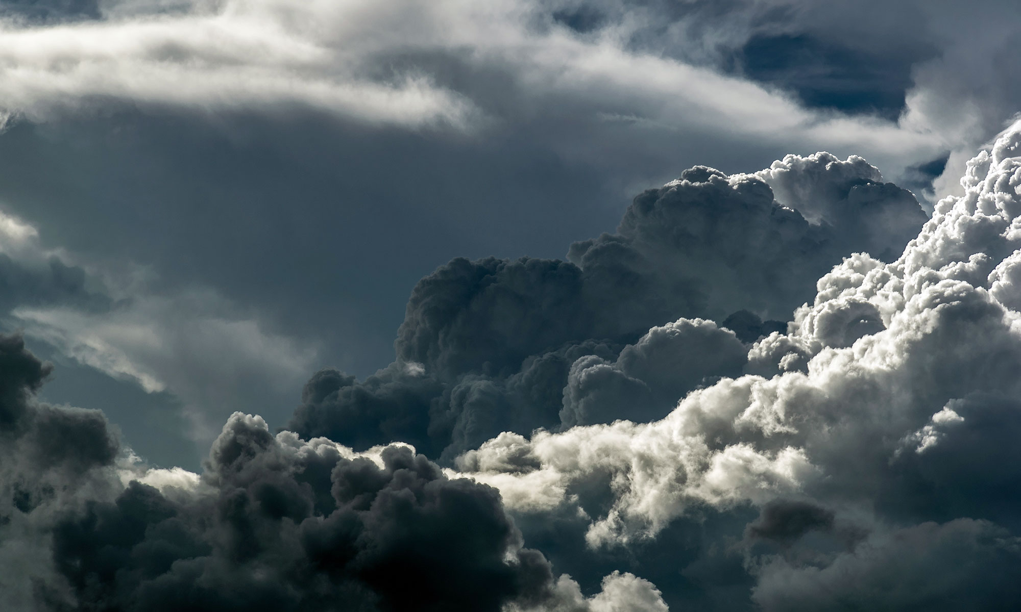
Predictions based on the appearance of the sky are thought to be particularly valuable, since certain clouds are associated with certain weather conditions, according to Angel. Clouds described as mare’s tails and mackerel scales are very high-level cirrus and cirrocumulus clouds that can precede an approaching warm front, with rain not far behind.
Likewise, a halo around the moon is actually the refraction of moonlight through the ice crystals that make up high-level cirrus clouds, indicating an approaching low-pressure system bringing rain or snow.
Long-term forecasts, such as winter weather predictions, are much more uncertain.
“Centuries ago, it was important to determine how severe the winter would be so that adequate wood and supplies would be stored for the duration,” Angel said. “The early settlers’ lives may have depended on their predictions, so they were grasping at anything to forecast the coming weather. However, the size of the brown band on woolly worms, the groundhog seeing its shadow, or spoon-shaped persimmon seeds are just happenstance.”
Even with today’s modern technology, the theoretical limit of daily weather forecasts is about two weeks. Within the 6- to 14-day range, forecast errors can be large enough to limit their usefulness.
That is why forecasters typically only discuss general patterns of weather behavior beyond five days, usually in terms of probability or odds. For example, the 8- to 14-day forecast may show the eastern U.S. with an increased chance of below-normal temperatures.
The same is true for seasonal forecasts that are driven by both long-term trends and specific weather patterns such as El Niño.
For the upcoming winter, forecasters look at historical records to decipher a pattern. The Midwest is under the La Niña effect, which is characterized by unusually cold waters in the eastern tropical Pacific Ocean.
The National Weather Service’s winter forecast for Illinois is an increased chance for above normal temperatures in the southern two-thirds of Illinois, and equal chances of above, below, and normal temperatures in the northern third of Illinois. All of Illinois has an increased chance of above normal precipitation.
What does the woolly worm predict?
-30-
Source: Jim Angel, Ph.D. (217) 333-0729, Fax: (217) 244-0220, jimangel@illinois.edu
Editor: Lisa Sheppard (217) 244-7270, sheppard@illinois.edu
The Illinois State Water Survey at the University of Illinois at Urbana-Champaign, a division of the Institute of Natural Resource Sustainability, is the primary agency in Illinois concerned with water and atmospheric resources.
Record Low Pressure on Great Lakes Storm
According to the National Weather Service
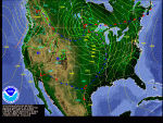
New record set today for the lowest pressure in a non-tropical storm in the mainland U.S. The massive storm system barreling across the central U.S. had a minimum central pressure of 28.24″ or 956 mb (equivalent to the minimum pressure of a Category 3 hurricane). This breaks the old record of 28.28″ (958 mb), set on Jan. 26, 1978, during the Blizzard of 1978 (aka the Cleveland Superbomb). This is also lower than the March 1993 Superstorm (aka “The Storm of the Century”), or the “Witch of November” storm that sank the Edmund Fitzgerald in 1975, or even the Columbus Day Storm of Oct. 1962.
Strong Storm to Hit Great Lakes
The National Weather Service has predicted a strong low pressure system, or cyclone, to hit the Great Lakes on Tuesday and Wednesday. The central pressure could be as low as 959 millibars (mb) (28.35 in), and associated with strong winds and significant wave heights on the Great Lakes.

The Great Lakes are no stranger to storms like this. The most notorious have hit in November and have included high winds, heavy snow, and treacherous waves.
- The Great Lakes Storm of 1913 – occurred on November 6-11, 1913 and sank 19 ships and killed 250 people. The lowest pressure was 968 mb (28.35 in) with winds up to 90 mph and 35 foot waves;
- The Armistice Day Storm of 1940 – occurred on November 10-12, 1940, and sank 5 ships and killed 154 people (many were duck hunters caught unprepared by the drastic change in weather). The lowest pressure was 967 mb (28.55 in) with 80 mph winds.
- Edmund Fitzgerald Storm of 1975 – occurred on November 10-11, 1975, led to sinking of the Edmund Fitzgerald with the loss of 29 men. The lowest pressure was 976 mb with winds in the 60-70 mph range with waves heights possibly up to 25 feet.
Two books on the 1913 storm are Freshwater Fury (Barcus 1960) and White Hurricane (Brown 2004). The Wikipedia article is here. The weather conditions are described here. If you do a search on “Great Lakes 1913 Storm” you will find many web links.
For the Armistice Day Storm of 1940, I am not aware of any specific books. I have seen some magazine articles on it over the years. The Wikipedia article is found here. Minnesota Public Radio gives a detailed account of the human toll here. This storm was different from the 1913 storm because many of the deaths occurred on land.
The Edmund Fitzgerald Storm of 1975 is probably the most widely known outside of the Great Lakes region. The loss of life was limited to the sinking of the Edmund Fitzgerald. Quite a few books and web sites are devoted to this storm. Here is a journal article that details the weather conditions of that storm.
Winter Outlook for Illinois – Wetter and Warmer
NOAA’s Climate Prediction Center released their official winter outlook today. The major influence in this winter’s weather will be the moderate to strong La Niña event occurring in the Pacific Ocean.
Precipitation
The winter outlook calls for an increased chance of above-normal precipitation across Illinois. They also state that the Ohio River Valley (including Illinois) is … “likely to see increased storminess and flooding.” Other studies have shown an increase in snowfall in the Great Lakes region during past La Niña events, especially in the January-March period.
Temperature
The southern two-thirds of the state has an increased chance of above-normal temperature. Meanwhile the northern third of Illinois has “equal chances” of above-, below-, or normal temperatures. This basically means that their forecast tools are providing no guidance on winter temperatures in northern Illinois, including the Chicago area.


